Hi Qu
When it has to be a High Quality
Land Survey , Hydrographic Survey , Remote Sense , GIS , Drones , Photogrametry , MMS , 3D Scan
About Us
HiQu Integrated Solutions Co. Ltd. is a leading supplier and developer of innovative geomatics products, positioning solutions in the fields of surveying, geospatial information and engineering works. The Company has been built on integrity, knowledge, value added services and dedication to customer satisfactions. HiQu Integrated Solutions Co. run by licensed professional surveyors and engineers who have more than 10 years in the line of geomatics and geospatial information. HiQu also carry out production and consultancy services in all field of surveying and geospatial applications.
OUR VISION
- To be a market leader in the provision of geomatic services, fostering growth and development in land survey and related industries in Sudan, Africa and Middle East.
- We combine industry intelligence, professionality and experience with the most advanced tools and technologies to deliver precise surveys, mapping and geospatial information product.
- Accordingly, all services will be accomplished in an efficient and professional manner, always respecting the time and resources of our customers, and thereby contributing effectively towards growth and progress in the arena of geomatic consultancy, development and industry.
OUR MISSION
Through our extensive surveying experience and using the latest most efficient equipment we provide our customers with reliable deliverables on time, every time. Each member of HiQu Integrated Solutions Co. Ltd. team is committed to exceeding our customers’ expectations. We pledge to our customers:
- To be approachable and good listeners to our customer’s needs.
- To offer advice that goes beyond your expectation and to add value to the deliverables of projects and services.
- To deal with all enquiries promptly, and to use the latest technology efficiently, saving time in cost effective manner.
- To execute the projects as agreed with the clients, sharing the company key indicative performance of time and quality.
OUR VALUE
- Best interests of our clients.
- Recognise, develop and reward our people.
- Openness and honest in all our actions.
- To strive for continual improvement.
- To seek sustainable, profitable growth.
- Reliable and leading-edge products and smart solutions.
- Ensure partners active involvement with clients and staff.
- Clients’ satisfaction is the ultimate goal of our professional services.
Our Partners



Our Services
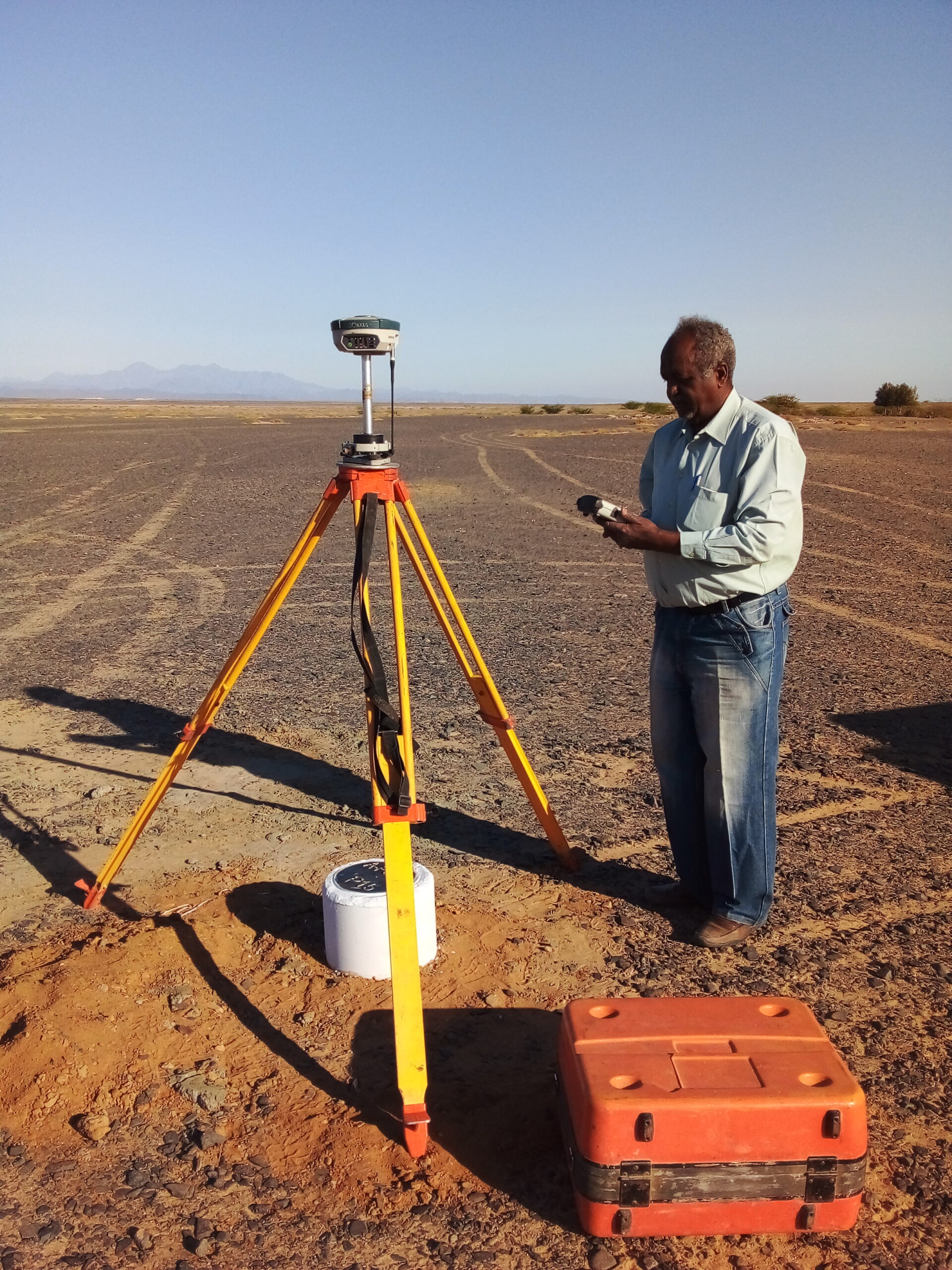
Technical Division
Land & Topographic Surveying
CAD Integration & Design
UAV data Acquisition, Scanning and
Processing
Video Imaging

Surveying Division
Geospatial Applications
GNSS Positioning & Surveys
Database Design &
Management
Geological Surveys
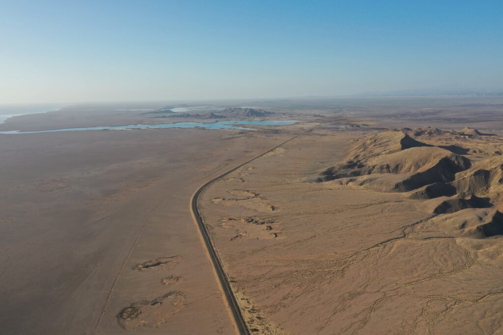
Investment Division
Hardware& software
Maintenance & Trade
Import & Export
Authorized Dealer
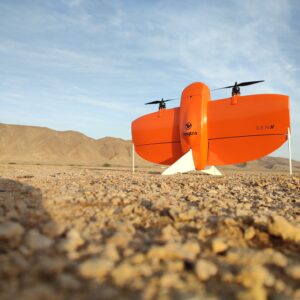
Drone Services
- 2D maps
- 3D maps
- orthomosaics
- digital surface models (DSMs)
- Digital Elevation Model(DEM
Projects Photos


